
6.0 miles | 1,998 ft gain | Difficulty: Difficult | Rating ★★★★★
2000 foot gain didn’t seem that bad over 6 miles. Until we realized the gain was all in that first mile. Aptly called Plateau, the mountain steeply climbed but then leveled out to a plateau, the wooded summit being less than spectacular. So why five stars? Well…sometimes it’s not all about the destination.
Devil’s Path range is often described as on of the most difficult traverses in the tristate area. I guess it depends how far your tristate radius goes. It has steep ups and downs, and very little water at elevation. The entire 24+ range traveling 5 of the Catskills 3500 peaks can be hiked in a day, but we were less motivated and sectioned the range into individual mountains, Plateau being our first.
We spent Memorial Day weekend in the Catskills, hoping to bag some peaks. The best decision we made was driving up after work on Wednesday, giving us the full day to hike Thursday, instead of driving up that day. It ended up being our only hiking day. The rest of the weekend was mostly a solid storm, until Monday morning when we journeyed back to Brooklyn. I enjoyed the reading time and appreciated the recovery period, but I didn’t love being forced indoors the whole weekend.
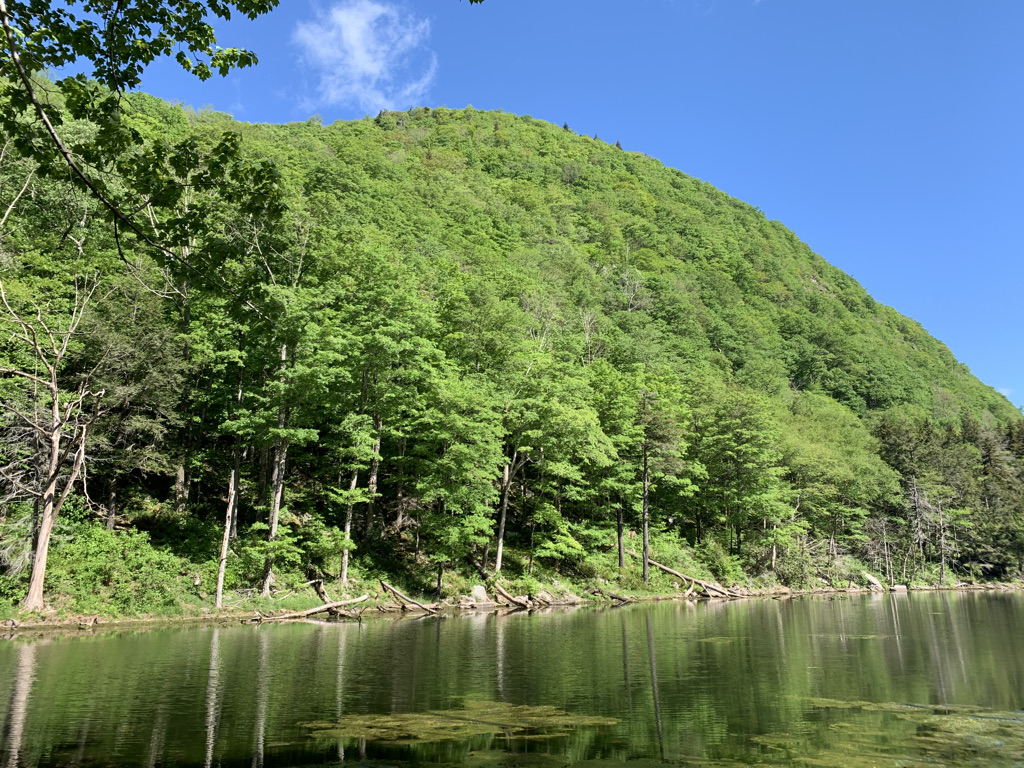
We started from Route 214, a bit up the road from Devil’s Tombstone campgrounds, and opposite where you could hike Southwest Hunter from. We had a few yards of levelish land, then went straight up. I’m used to rocky terrain, but this was something different. It was more slate and shale than boulders, making for thick gravel instead of rock climbing. This was our first “real” climb this year and it was tough. Enough, that it made us reconsider our plans of hiking the Lower Great Range, 4+ times the elevation gain, a month later.


The final assent felt like a slap in the face. A rock ledge stood in front of us, daring us to turn back. Sean made it up, a bit poorly, but my legs are just too damn short. Luckily, I was able to find a bushwack to the left and make my way up. That. First. View. Looking down into Platte Clove Valley made the last hour+ worth it. A bit further down the trail (almost completely level now!) we opened up to another view of the Blackhead, Kaaterskill and Slide ranges. Mountains for miles.
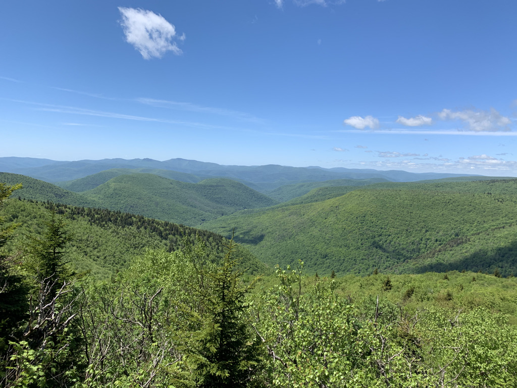

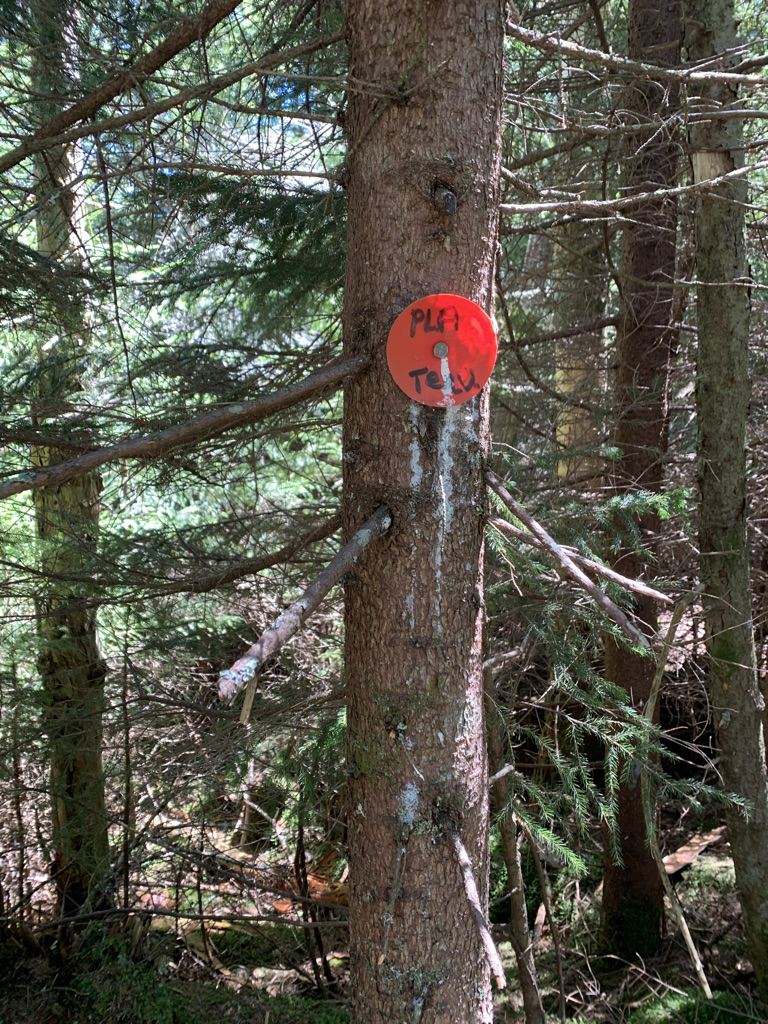
The remainder of the hike was…perfectly pleasant. We strolled through a dense forest, intersected at one point with the Long Path that goes from the George Washington Bridge to Albany, and nearly passed our timidly marked summit. We continued past the summit for a few tenths of a mile, going down a bit and finding a lovely boulder to lunch on, overlooking more mountains.

I’m disappointed it was our only hike of the trip, but grateful we selected a challenging one. Besides the ravenous black flies, we couldn’t have asked for a better day.

Pingback: Hike 39: Twin Mountain and Indian Head | Fifty-Two Hikes
Pingback: Hike 48: Giant Stairs | Fifty-Two Hikes