6.1 miles | 751 ft gain | Difficulty: Moderate | Rating ★★★★★
It’s been some time since I last hiked in Harriman State Park. I mean, yes, the trails we hike starting from the Tuxedo, NY train station are still part of the park, but when I say IN the park, I mean deep in the park, winding down Seven Lakes Drive.
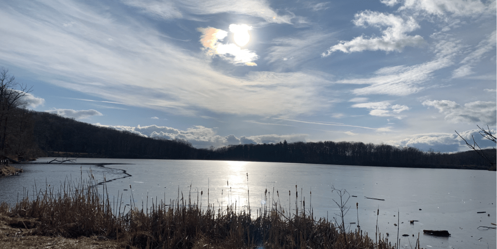
It’s both exciting and daunting how many people are still getting outside this winter. During the summer and fall, if we weren’t at a trailhead in the Adirondacks by 6am (latest!), there was no hope of parking. Trails in the tri-state area, get there by 9am. Though the cold weather has led to a slightly sleepy rising time, we found ourselves snagging the last parking spot at Lake Skannatati at 10:30am. At least, we think it was a legit parking spot…
There are so many interconnected trails in Harriman, that while the parking situation was a bit claustrophobic, the trails were not. It also helped that we followed the New York-New Jersey Trail Conference Map, instead of AllTrails, looping in the opposite direction of our fellow hikers.
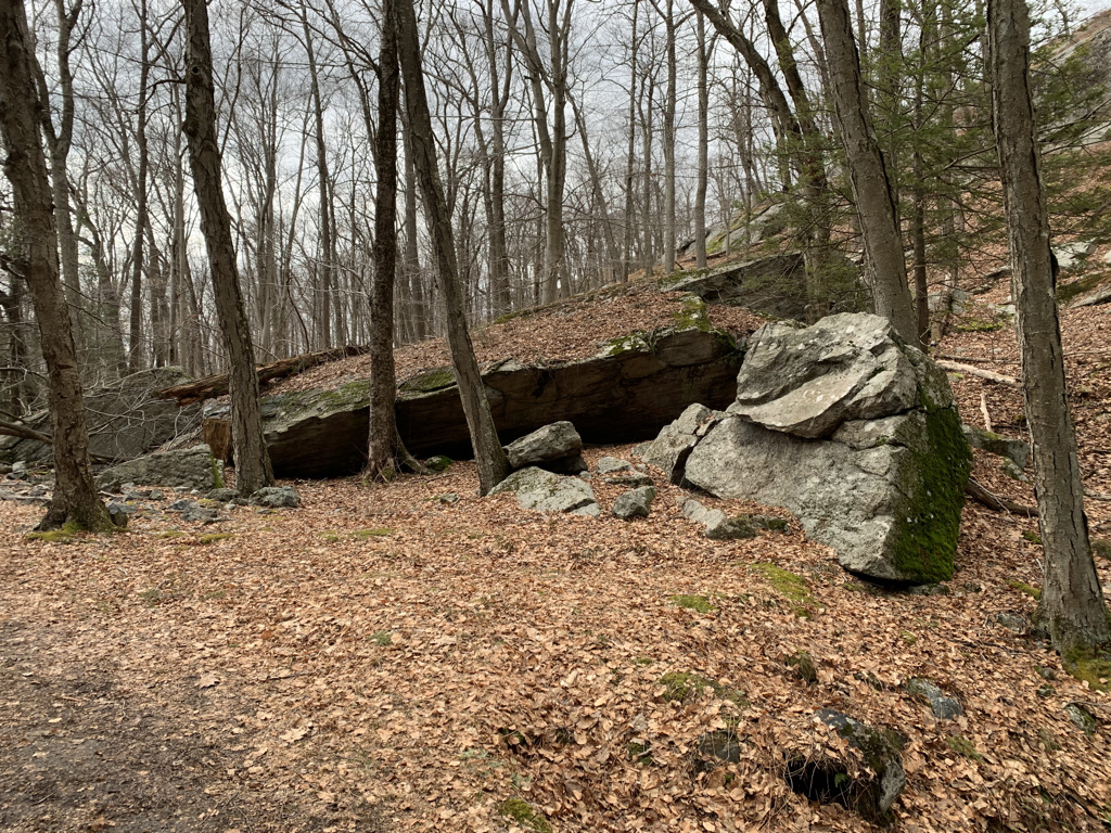
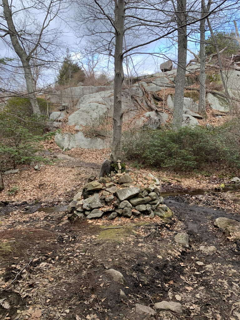
The hike begins on the Long Path and climbs gradually through the woods, crossing the Pine Brook Swamp (read: mud!) before meeting up with the Dunning trail. Staying on the Dunning trail, we came across remnants of a late 1800 mining village, built to house workers at the Hogencamp Mine. The trail guide claims there were once 20 houses, several barns, a school and a store, but we struggled to find only a couple of barely-there foundations.
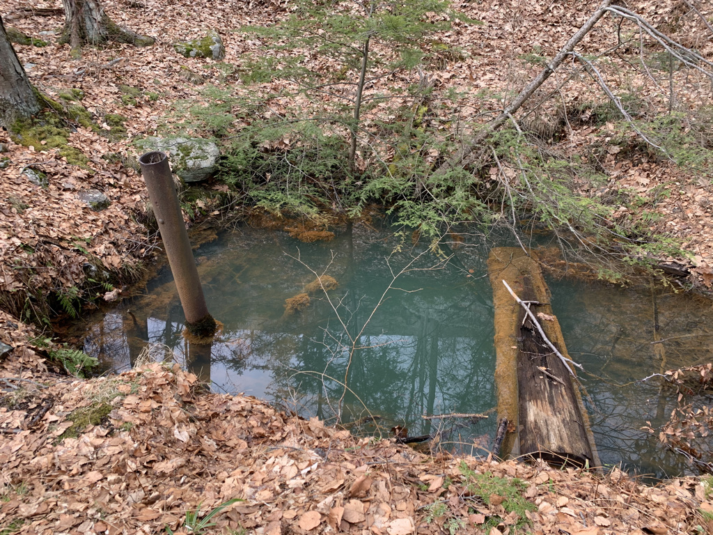
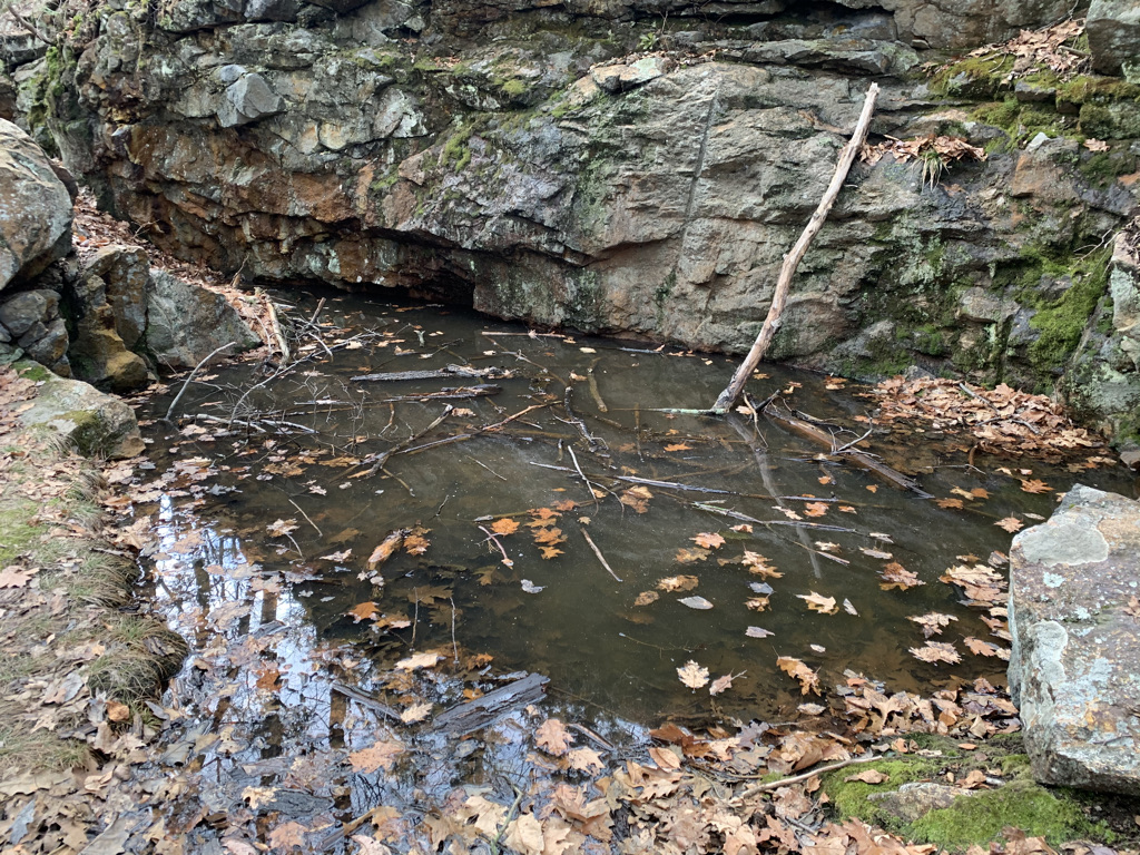
We saw a cast iron pipe that protruded from the mining shaft, about 25 feet wide. It wasn’t the grand mining experience I had hoped for. The shaft looked to be partially filled with dirt, then water, though we didn’t get too close to observe it’s depth. I remember a middle school field trip where we visited a quarry in New Jersey. There was a mine shaft, much newer of course, but it kind of had a gateway entrance feel to it. This was nothing of the sort, though still pretty cool. Other hikers quickly passed, ignoring its history, probably assuming it was just another water filled area of the swamp.
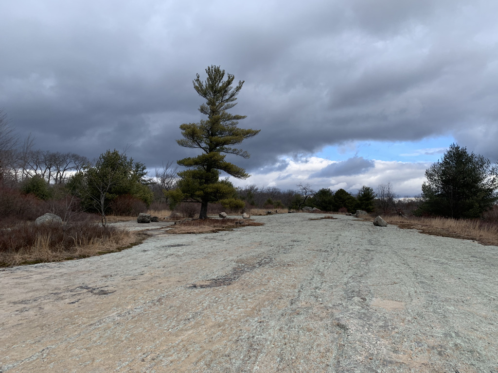
Most of the hike was a gradual steady climb to one of Harriman’s highest points, Hogencamp Mountain. Along the way, we hit a few flat stretches, my favorite being Bowling Rocks. I’m not sure if you’ve ever seen a forest bowling lane. There was an abandoned one deep in the woods of my girl scout camp. The stone slab, before Sean shared its name, immediately conjured up that memory.
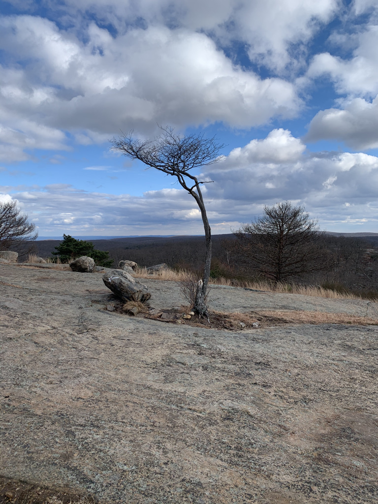
On the way up the trail, we were met with storm clouds and flurries, but atop Hogencamp Mountain, we had blue skies and 360 views. If you squinted, far in the distance, you could almost make out the Catskills. I was a bit shocked to learn that Harriman’s highest points don’t even top 1,500 feet. I wasn’t expecting epic Adirondack mountains, but still I hoped for a bit more.

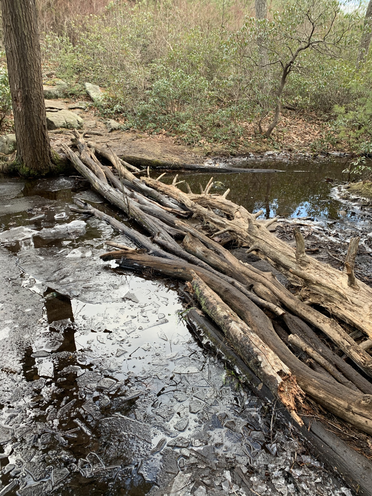
Our descend was much of the same – gradual grade and wide forest paths. We came to Time Square, the intersection of several trails, and found a few confused groups. We, ourselves almost lost our way, transition from the white circle with red dot trail to the white circle with red triangle trail. Just a bit further we came to a water cascade where a few groups stopped to rest and snack. And just past the stream crossing, we were treated to another historic mine site, this time the Pine Swamp Mine, used from 1830 to 1880. In the remnants of one of the mind shafts, a long tubular depression was visible, a mark left by the drill used to excavate the mine.

What interests me most about the trails in Harriman, and the surrounding areas in general, is the past life they hold. Once upon a time, many of these trails were villages, mining towns, etc., now a faded memory and a few foundations. When these grounds transitioned from home to perseveration, I’m not sure, but I love exploring the combination of nature and history.

P.S. I’m always looking for new, interesting, moderately trafficked hikes in the tristate area. Suggestions? Drop me a line!
